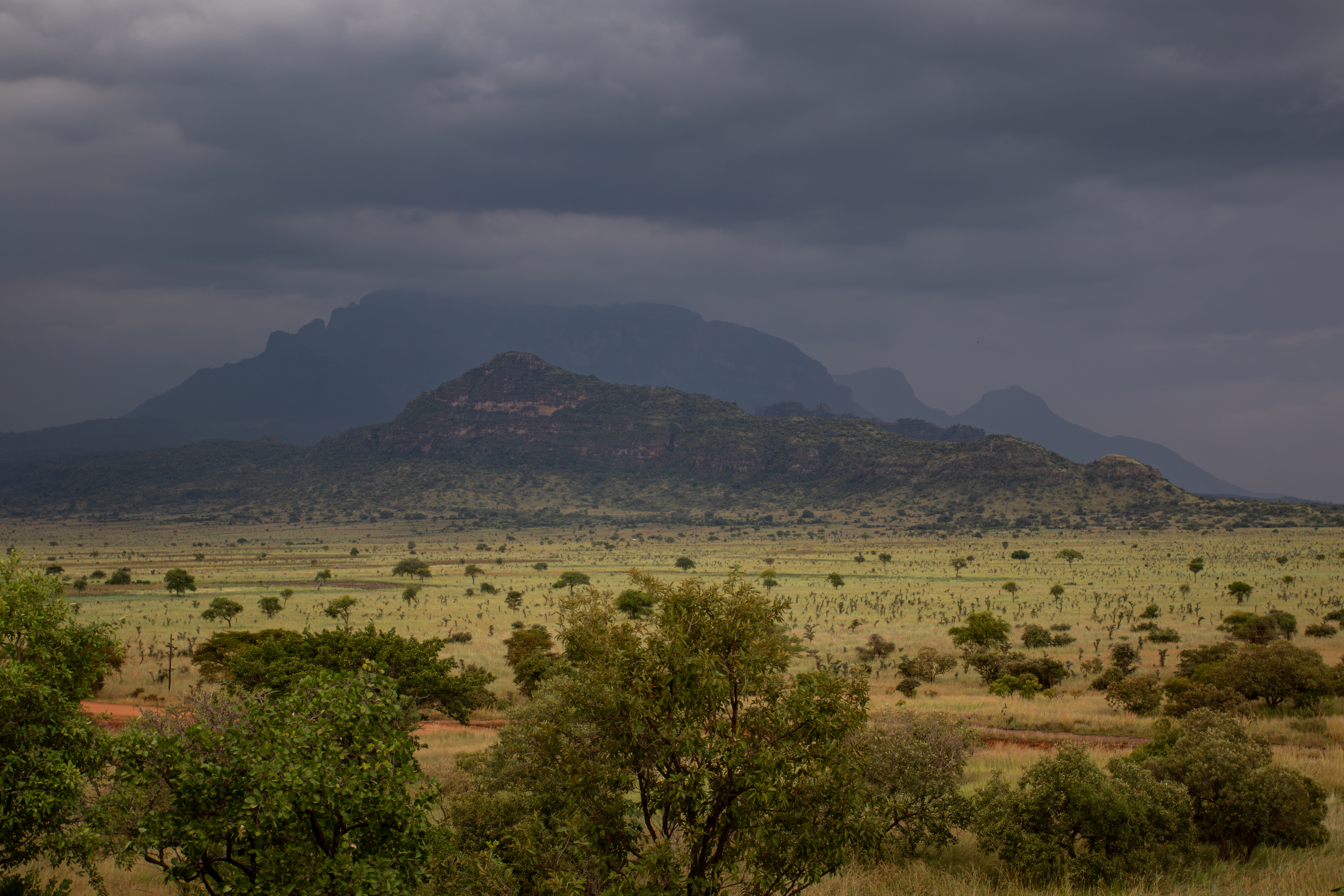
The pressures on this landscape are real, persistent, and interlinked, driven by poverty, high resource dependency, and a history of under-investment across a very large area.
Pian Upe exists in one of Uganda's most challenging conservation contexts. Eight pressures below shape everything the co-management partnership does, and each is being answered with a specific, documented response.
Understanding these threats is not a reason for pessimism. It is the starting point for interventions that actually work.
Ten pressures, ten responses
The response: joint SFG–UWA patrols, intelligence gathering, and mapped seizures of bushmeat, snares, and firearms.
Among the most significant threats to Pian Upe's wildlife. Driven by food insecurity, commercial demand, and inadequate enforcement presence, poaching has suppressed wildlife populations across large parts of the reserve for decades. Snares, gin traps, pit traps, bows and arrows, and firearms are all in use.
Since 2022, joint patrols have increased coverage and enforcement action, building an evidence base for increasingly targeted operations.
The response: enforcement paired with alternative livelihoods for the communities that depend on it.
Driven by demand from urban markets and enabled by the reserve's remoteness, charcoal operators fell trees inside the reserve, destroying woodland and riverine forest habitat and stripping structural diversity from the ecosystem. It is a challenge that sits squarely at the intersection of conservation and community development.
Household demand compounds the commercial trade. In the 2025 community survey, 97% of neighbouring households said they cook with firewood, so the draw on woodland is daily and near-universal, which is why enforcement alone cannot answer it.
The response: structured, monitored, ecologically beneficial managed-grazing pathways.
Livestock incursion, driven by drought, political interests, and poor rangeland management outside the reserve, degrades vegetation, reduces palatable grasses, and erodes soil.
It is one of Pian Upe's most complex challenges, because livestock is also central to the culture, economy, and identity of surrounding communities. The solution has to answer the ecological problem and the social reality at once.
The response: intelligence-led enforcement reaching beyond the reserve's boundaries.
Pian Upe's wildlife, particularly pangolin, cheetah, leopard, and birds of prey, faces pressure from live species trafficking. The trade connects local poachers to national and international criminal networks, one of the less visible but most damaging threats to the reserve's biodiversity.
The response: vehicles, roads, outposts, and equipment rebuilt since 2022, with more planned for 2026.
For most of two decades the reserve was effectively unmanaged: no functional vehicles, no patrol infrastructure, broken outposts, and too few rangers for 200,000 hectares. A landscape theoretically protected but practically open to exploitation. Rebuilding operational capability is the foundation on which every other conservation outcome depends.
The response: restoration itself, recovered grassland, woodland, and wetland are climate adaptation.
Karamoja is among the regions most exposed to climate variability in Uganda, with roughly 80% of the population facing severe climatic risks. Erratic rainfall, prolonged dry seasons, and heat stress alter habitat conditions and push communities to seek water, pasture, and food within the reserve. A healthier landscape is the buffer, for wildlife and for people.
The response: a clear, participatory plan for the Containment Management Zone.
A designated Containment Management Zone of roughly 150 km² below Mount Napak is home to an estimated 10,000 to 25,000+ people. Settlement has so far stayed within the zone, but expanding agriculture, woodland clearing, and hillside cultivation risk spreading further and severing connectivity with the Iriri Community Wildlife Area to the north. Balancing resident communities' needs with ecological integrity is one of the partnership's most sensitive tasks.
The response: joint operations, steady state presence, and a region markedly more stable than it was.
Karamoja carries a long history of armed cattle-raiding and cross-border insecurity. Disarmament has improved the situation considerably, but the wider landscape remains awash with illicit firearms moving across porous borders with Kenya and South Sudan. These weapons still surface in disputes over grazing, water, and access, a periodic challenge to the safe management of the reserve and its teams.
The response: speed mitigation along the 12 km inside the reserve, and a road-death toll monitored animal by animal.
The tarmac road that crosses the reserve brings access, and it brings risk. It carries visitors, supplies, and the region's traffic straight through wildlife habitat at speed.
One hundred and twelve animals have been killed on it. Speed mitigation measures have been installed along the twelve kilometres of road inside the reserve, and the toll is being monitored closely: the same road network that makes the reserve manageable has to be made survivable for the animals that cross it.
The response: mitigation support at the boundary, delivered through Empower Communities.
Elephants in a garden, a leopard among the goats, a snake in the compound: for households on the boundary, wildlife is not an abstraction. Five hundred and ten conflict incidents have been reported since 2022.
More than half of neighbouring households say wildlife conflict has a high impact on their daily lives. No conservation gain here holds unless that cost is answered, which is why mitigation sits at the centre of the community programme rather than at its edge.
Documented on patrol
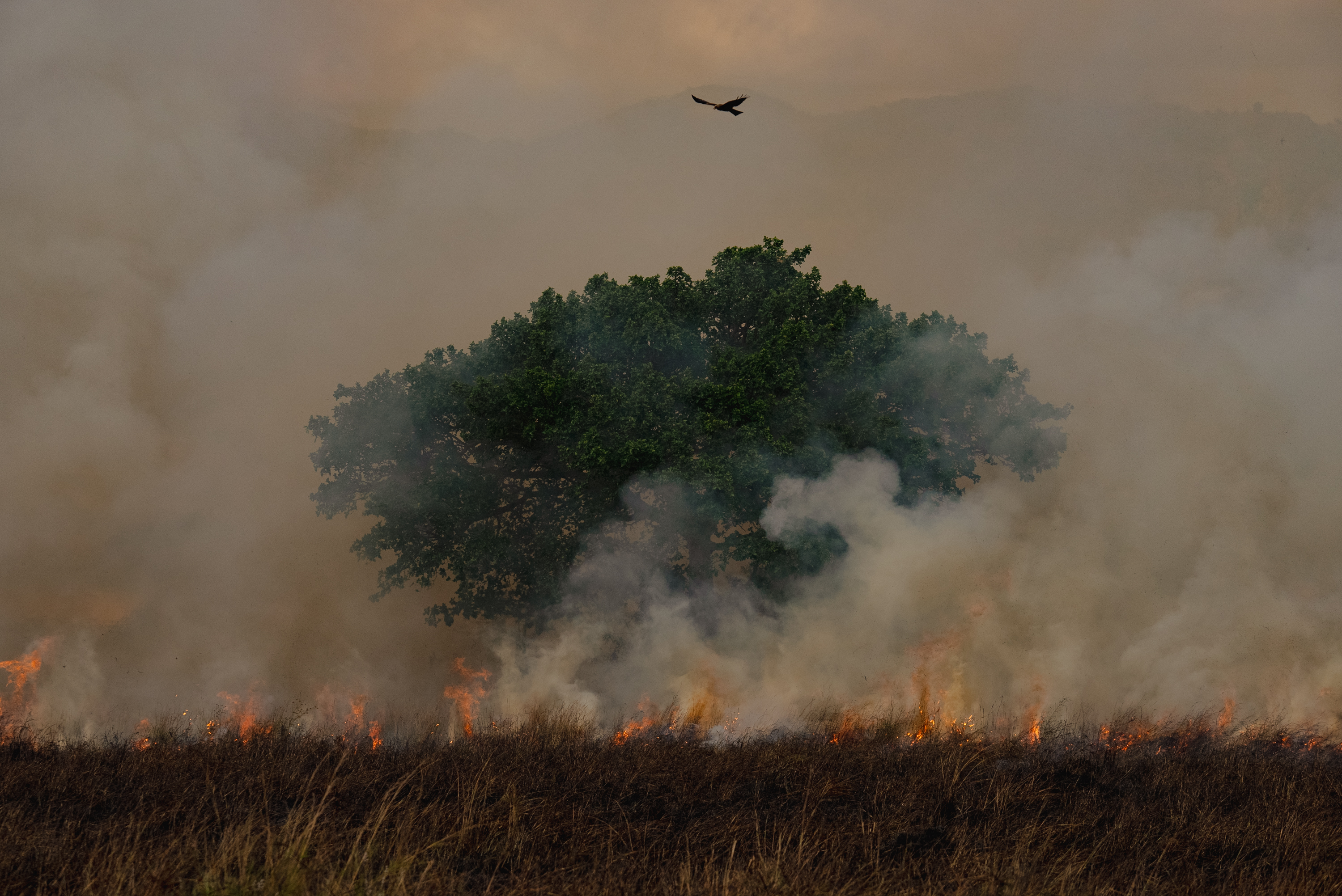
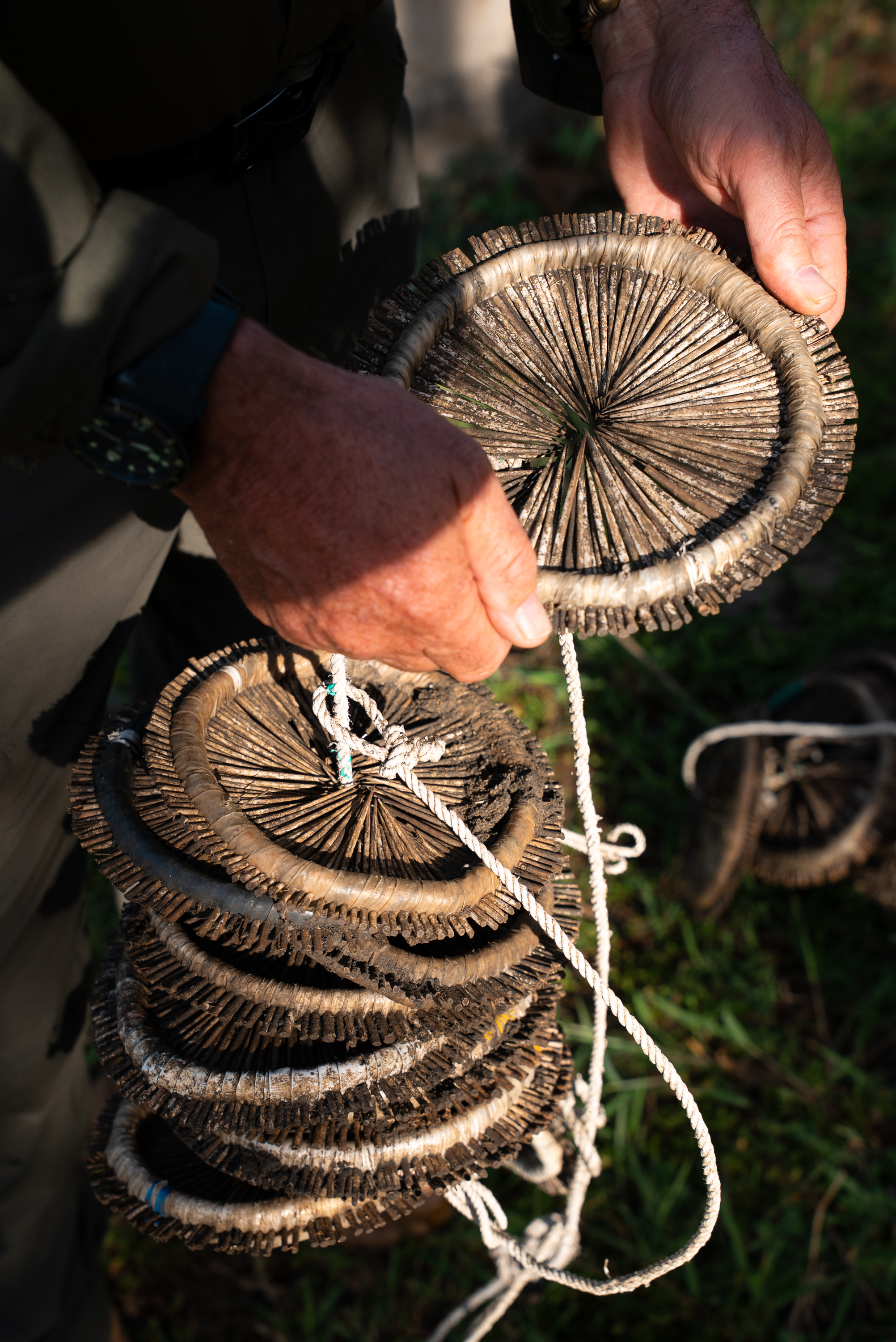

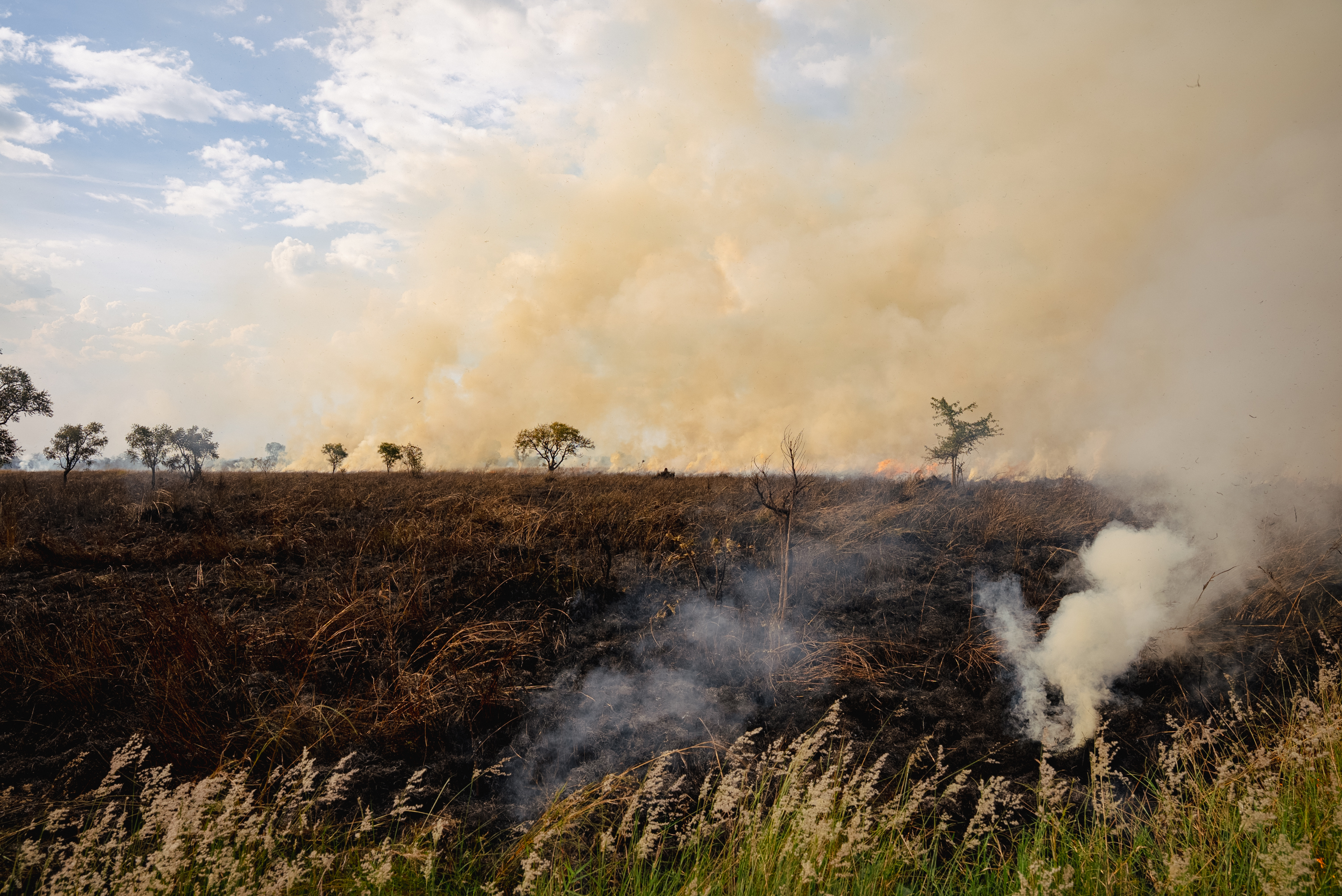
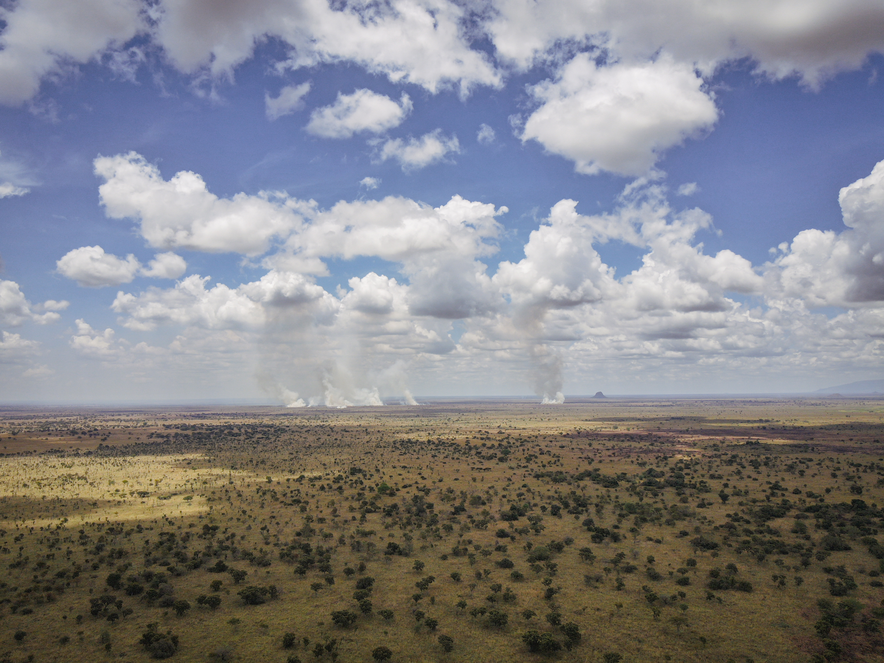
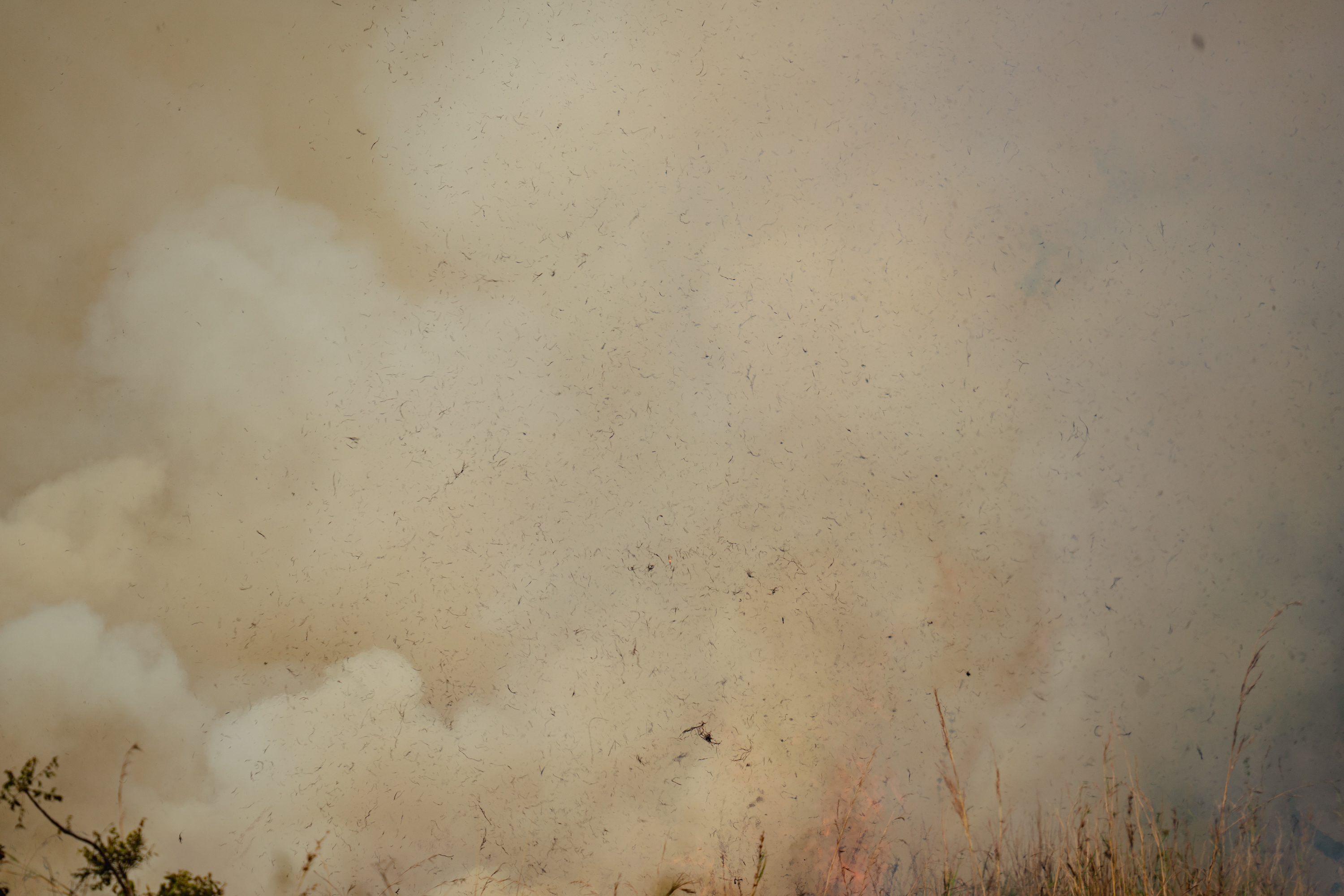
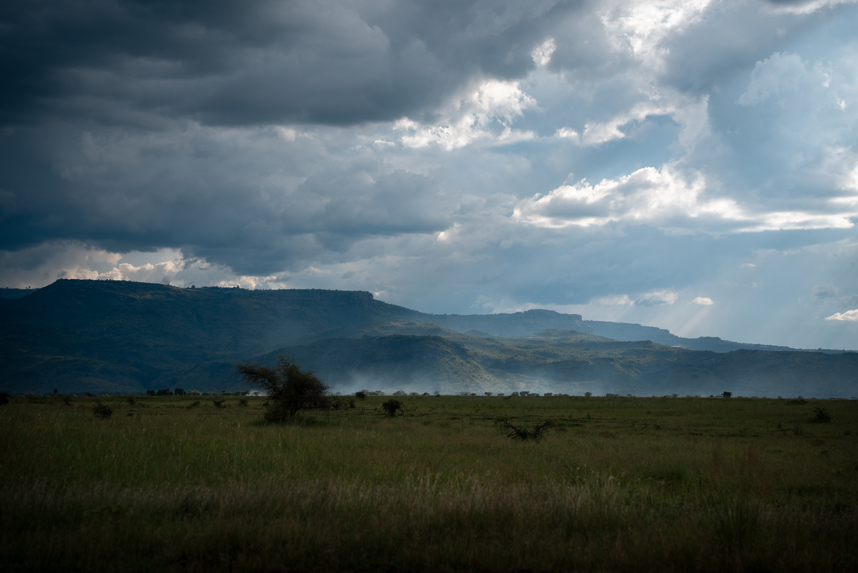
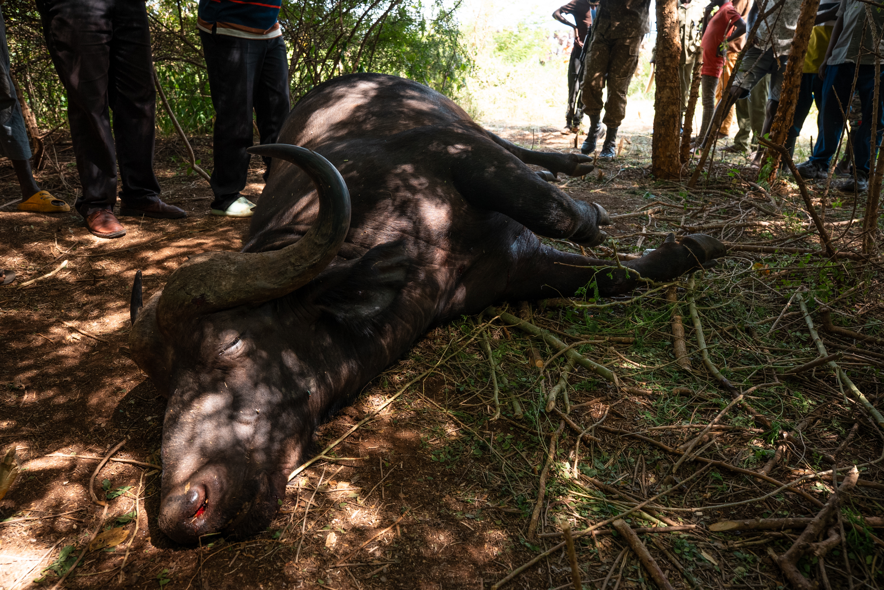
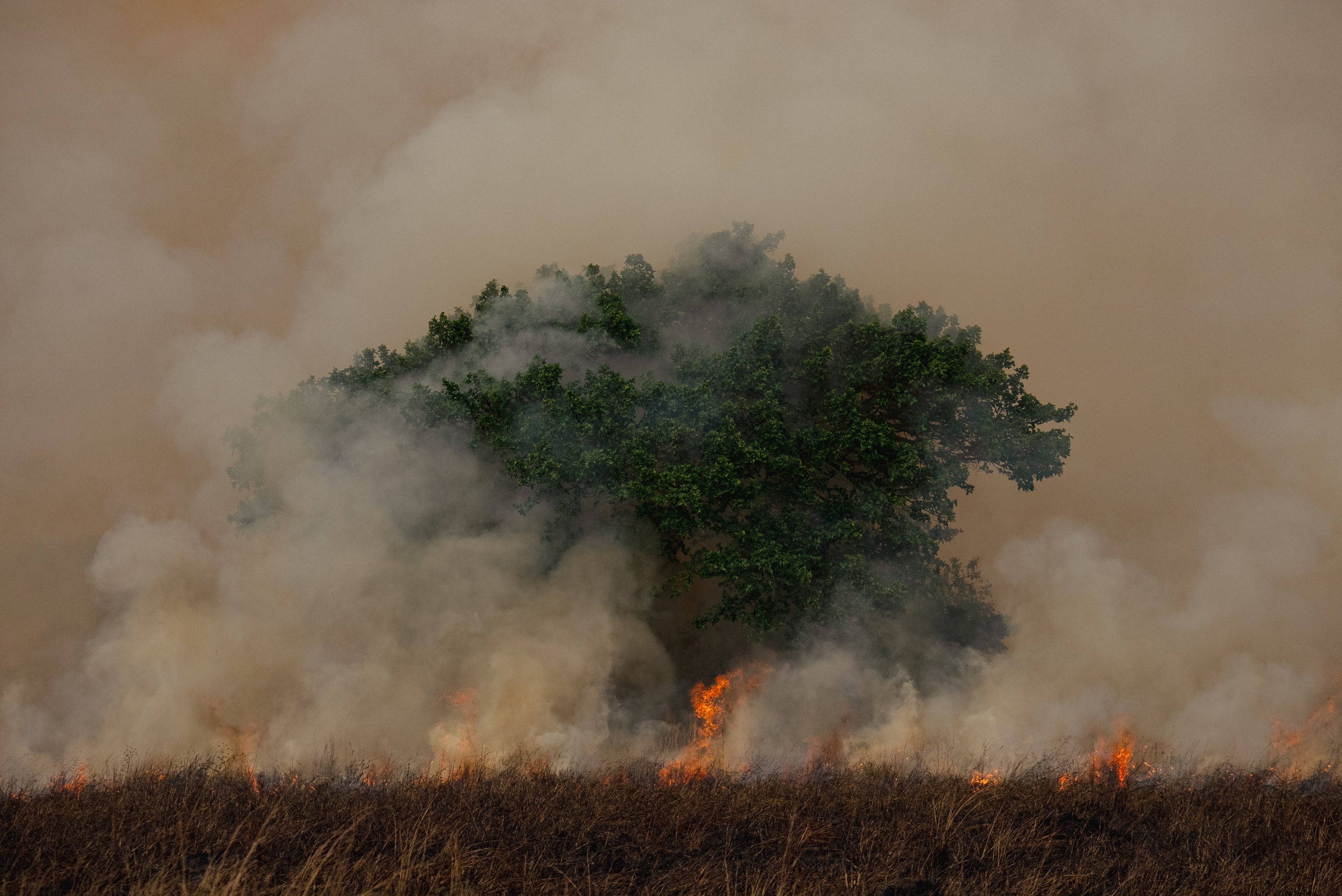
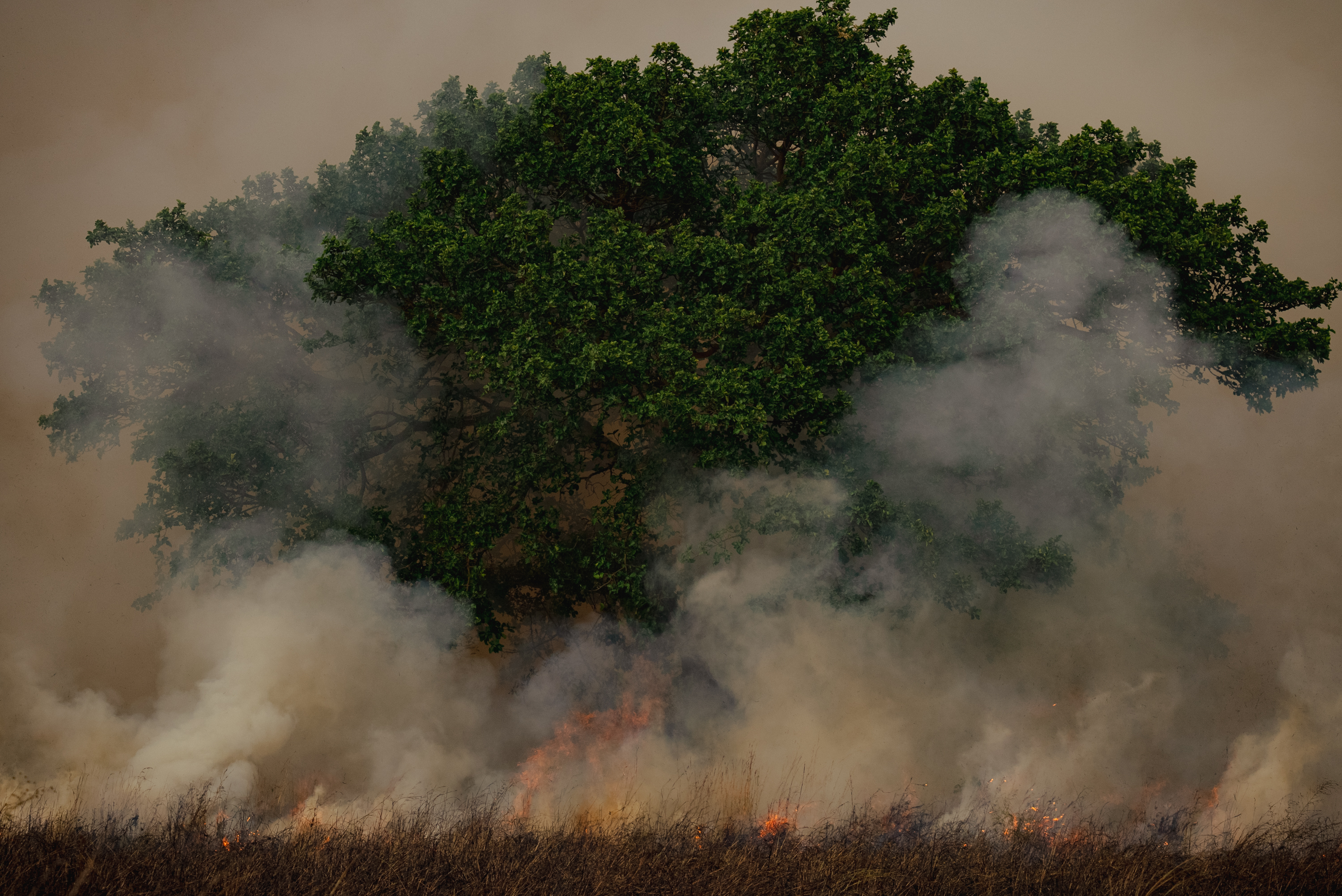
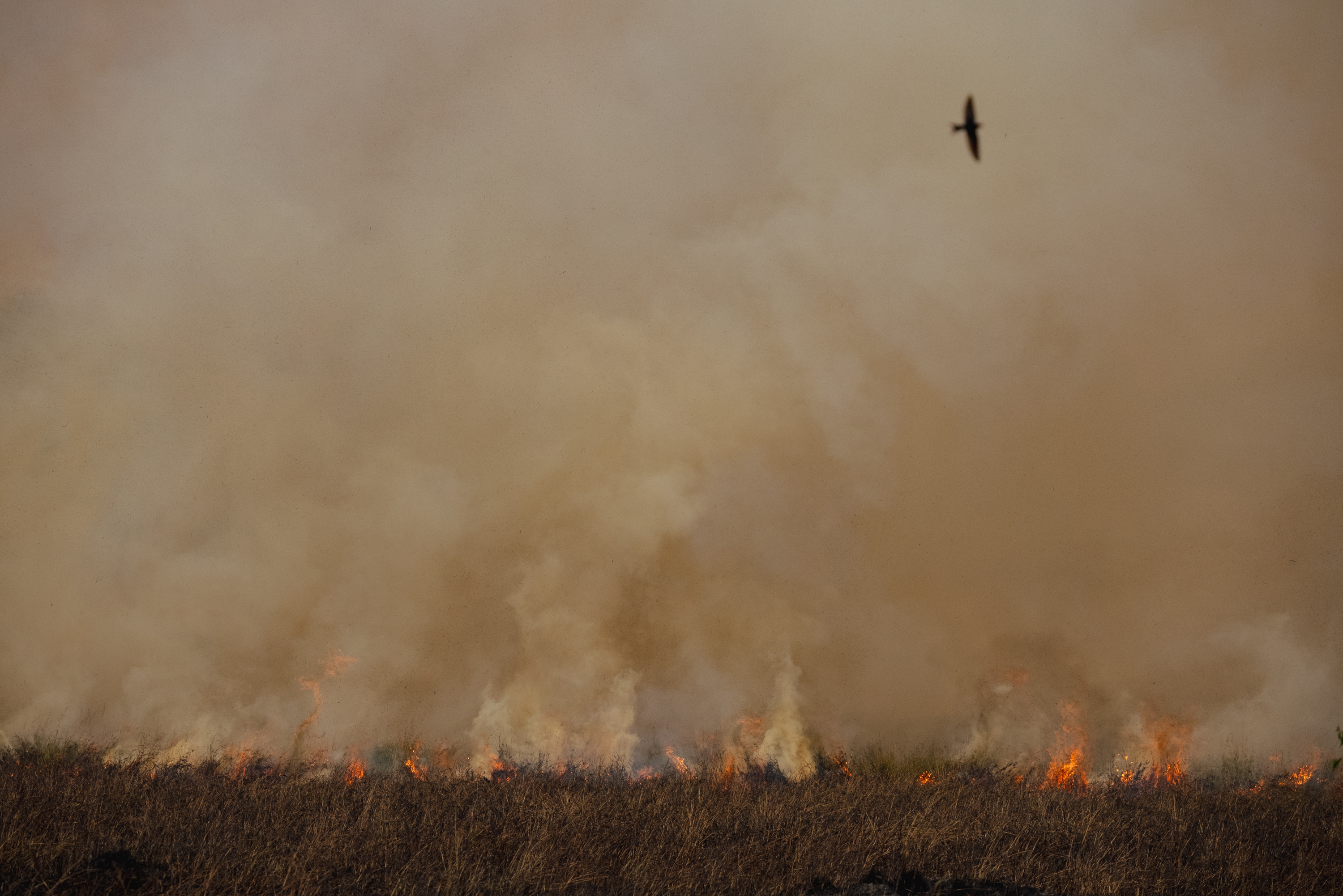
Show the tools and traces of each threat, never distressed animals: the page stays honest without turning graphic.